If you are dreaming about land in Big Sur, you already know this coastline is unlike anywhere else. The views are unmatched, the privacy is real, and the terrain is wild. What many buyers do not realize is how different the rules, permits, and site constraints are compared to a typical rural parcel. In this guide, you will learn how to evaluate buildability, what permits you will likely face, and how to set realistic timelines and budgets before you write an offer. Let’s dive in.
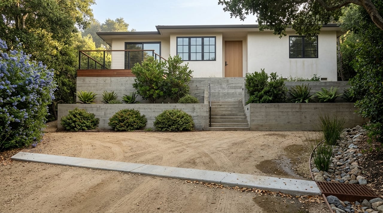
What makes Big Sur land different
Big Sur sits inside Monterey County’s Coastal Zone, and most development is governed by the Big Sur Coast Land Use Plan, known locally as the LUP. The LUP prioritizes scenic protection, habitat conservation, water resources, and slope stability. It also ties density to terrain. You should expect stringent review for any visible building or road work. You can read the LUP policies directly in the County’s published document to understand the tests projects must meet.
- The County implements the LUP through its Coastal Implementation Plan and issues Coastal Development Permits for most projects. Many permits are discretionary and can be appealed. Monterey County’s Planning Services page outlines the local coastal process and where to start pre-application conversations.
- Visual sensitivity is a core theme. New development often must be screened from Highway 1 and public viewpoints. Site placement, color, height, and landscaping are all scrutinized.
- Slope and access rules are strict. The LUP’s slope-density formula reduces the number of allowable homes as slopes increase, and land east of Highway 1 with cross slopes over 30 percent faces especially tight limits.
For an early read on feasibility, anchor your research in the County’s LUP and Planning Services resources:
- Review the Big Sur Coast Land Use Plan for policies on viewsheds, slopes, water, and ESHA.
- Use the County Planning Services page to understand Coastal Development Permits, CEQA steps, and how appeals work under the Local Coastal Program.
Big Sur Coast Land Use Plan (LUP)
Monterey County Planning Services: Land Use Plans and Coastal Permits
Buildability hinges on water, wastewater, and habitat
Water supply
Water is often the make-or-break issue. The LUP requires you to demonstrate a dependable, year-round supply for a home. A commonly cited benchmark is about 0.5 gallon per minute for a single-family dwelling, and the County looks closely at how dry years affect your source. If a parcel relies on a well, seasonal testing by a hydrogeologist is typical. If it connects to a small community system, you need proof of a valid allocation and capacity.
- Learn the LUP’s expectations for water protection and testing.
- Check the State Division of Drinking Water’s public records for any small systems serving the area to confirm status and capacity.
Water protection in the LUP
Division of Drinking Water: small system records example
Wastewater and septic feasibility
Municipal sewer is largely unavailable along the Big Sur coast. Most properties depend on onsite septic systems that must meet County Environmental Health standards for setbacks, percolation, slopes, and separation from groundwater and streams. Parcels with shallow soils, steep slopes, or nearby waterways may not support a conventional system. Early percolation tests and site evaluations are crucial before you assume a building envelope will work.
Monterey County Environmental Health: septic and onsite wastewater
Sensitive habitats and wetlands
Big Sur supports a range of protected habitats and species. Development in or near Environmentally Sensitive Habitat Areas requires biological surveys, avoidance where feasible, and mitigation if impacts cannot be avoided. Work that affects streams or wetlands may also trigger federal and state permits under the Clean Water Act and related water quality approvals.
US Army Corps: federal permit overview
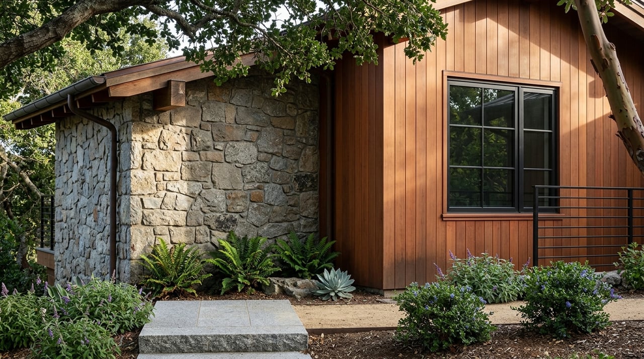
Terrain, access, and wildfire factors
Slope stability and roads
Rugged terrain and landslide history define much of Big Sur. The LUP flags unstable soils and bars new roads across slopes over 30 percent unless very specific findings are met. Most projects require geotechnical reports to analyze pad locations, retaining systems, and driveway stability. Budget for geotechnical work early and plan around the reality that the buildable footprint can be smaller than it appears on a map.
Highway 1 and construction logistics
Highway 1 is the primary artery and can be closed or delayed by landslides. Delivery of heavy equipment, concrete scheduling, and emergency access often hinge on highway conditions. Build timelines should include seasonal risk windows and contingency routing.
Background on Highway 1 landslide history
Wildfire risk and defensible space
Much of Big Sur is mapped in high or very high fire hazard severity zones. That affects building standards, access widths and turnouts, water storage for fire suppression, and defensible space plans. Confirm your parcel’s exact fire hazard designation and discuss road, tank, and hydrant requirements with a fire specialist early.
CalFire/OSFM: Fire Hazard Severity Zone maps
Conservation easements and TDCs to watch
Recorded conservation or scenic easements can permanently limit building on Big Sur parcels. In addition, Monterey County operates a Transfer of Development Credits program that can retire development rights on sensitive donor sites and, in limited cases, transfer them to eligible receiver sites under strict findings. If a title report shows an easement or TDC history, treat it as a major factor in feasibility and future plans.
Monterey County Title 20: TDC ordinance
Permits you will likely need
- Coastal Development Permit or Coastal Administrative Permit for most new homes, additions, grading, wells, septic, and often tree removal.
- CEQA environmental review, ranging from an Initial Study to a full Environmental Impact Report, depending on potential impacts.
- Grading and erosion control permits for building pads and driveways, supported by geotechnical reports.
- Environmental Health permits for wells and onsite wastewater systems.
- State and federal approvals if you affect streams, wetlands, or the shoreline.
- Fire agency clearances addressing access, turnarounds, and water storage.
- Encroachment permits for any work that ties into Highway 1 or County roads.
Refer to County resources for process steps, current guidance, and examples of environmental documents that illustrate timelines and conditions.
County planning and coastal permit process
Recent County environmental documents (CEQA examples)
Cost and timeline expectations
Every parcel is different, but there are patterns you can use for planning:
- Timelines. Small, ministerial actions can take a few months. Discretionary coastal permits that require multiple technical studies and public hearings often take several months to more than a year. A full EIR can extend the schedule.
- Soft costs. Plan for surveys, ALTA and topographic maps, biological and cultural studies, geotechnical work, hydrogeology and well testing, and septic design. Each component can range from a few thousand dollars to tens of thousands, depending on complexity.
- Hard costs. Road work, retaining structures, grading, and utility extensions can dwarf soft costs, especially on long or steep driveways.
- Contingencies. Highway 1 access, wildfire rules, and seasonal biology surveys can affect scheduling. Build in time and budget cushions.
Due-diligence checklist for buyers
Use this as a step-by-step reference so you do not miss critical items.
Pre-offer quick checks
- Confirm land use designation and overlays under the Big Sur LUP with Monterey County Planning. Ask about design control and viewshed policies.
- Order a preliminary title report and review recorded easements, especially scenic or conservation restrictions and access rights.
- Identify water options. Call the County and check State small water system records to see if a connection exists and has capacity.
- Check hazard maps for wildfire designations and any mapped steep-slope constraints.
County Planning Services overview
Division of Drinking Water: small system records example
Fire Hazard Severity Zone map
During escrow and feasibility
- Commission an ALTA boundary and topographic survey. Verify legal access and any Highway 1 encroachment history.
- Engage a hydrogeologist for seasonal well testing or confirm documented allocations for community systems. Expect dry-year analysis.
- Conduct percolation tests and septic feasibility reviews with County Environmental Health.
- Retain a biologist for ESHA and species surveys and a cultural resources specialist for archaeological and tribal coordination where required.
- Order a geotechnical report to evaluate slope stability, road alignments, and building pads.
- Consult a fire specialist to confirm road widths, turnouts, and required water storage for fire suppression.
- Request formal utility extension estimates. For electricity, understand customer cost responsibilities under distribution extension rules.
Septic and onsite wastewater standards
CPUC Rules 15/16: distribution line and service extensions
Next steps if moving forward
- Hold a pre-application meeting with Monterey County Planning to confirm required permits and technical reports and to preview CEQA scope.
- Plan for public hearings and potential conditions such as scenic easements or participation in the TDC program.
- Confirm wildfire insurance availability and premium ranges early.
TDC ordinance text
Common red flags to spot early
- No dependable, year-round water source or inability to meet County supply expectations.
- Parcels dominated by more than 30 percent cross slopes east of Highway 1, or no realistic building area under that threshold.
- Recorded conservation or scenic easements that restrict new structures.
- Lack of recorded legal access or the need for a long road across unstable slopes.
- A building site visible from Highway 1 that cannot meet viewshed policies.
Who to engage on your team
Big Sur projects succeed when you assemble the right experts early. Plan to involve:
- A local real estate advisor experienced in Big Sur land and the County’s coastal process.
- A land use or environmental attorney for title, easement, and permit strategy.
- A licensed surveyor and civil engineer for ALTA, topo, grading, and driveway design.
- A geotechnical engineer for slope stability and foundation design.
- A hydrogeologist or well consultant for seasonal testing and water-rights review.
- A septic designer and County Environmental Health liaison.
- A qualified biologist and cultural resources specialist for required field surveys.
- A fire protection consultant to plan access, turnarounds, and water storage.
How a trusted advisor helps
If you are buying acreage in Big Sur, your goals likely include privacy, a lasting legacy, and a home that fits its setting. Getting there starts with realistic feasibility work and a clear plan through the County’s coastal process. As a Carmel-by-the-Sea–based advisor with experience across ranch, acreage, and coastal properties, I coordinate the right specialists, set clear expectations, and keep your due diligence on track so you can make confident decisions.
If you are ready to explore land and acreage in Big Sur, let’s talk about your goals, your timeline, and the process that gets you there. Connect with Alex Brant to start a focused, feasibility-first search.
FAQs
What is the Big Sur Coast Land Use Plan and how does it affect private buyers?
- It is the primary policy document for Big Sur’s Coastal Zone that limits visible development, ties density to slope and watershed constraints, and shapes permit approvals through the County’s Coastal Implementation Plan.
How much water do you need to build a home in Big Sur?
- The County expects proof of a dependable, year-round supply, with a commonly cited benchmark of about 0.5 gallon per minute per single-family home and an emphasis on dry-year performance.
Are you allowed to build on steep slopes in Big Sur?
- Land with cross slopes over 30 percent, especially east of Highway 1, faces severe limits under the LUP and often requires major geotechnical review, with many proposals restricted or reduced.
What permits are required for wells and septic systems in Big Sur?
- Monterey County Environmental Health reviews and permits wells and onsite wastewater systems, while the Coastal Development Permit process typically covers grading and related site work in the Coastal Zone.
How long do Coastal Development Permits usually take in Monterey County?
- Minor, ministerial actions can take months, while discretionary coastal permits with environmental review and hearings often run several months to more than a year, depending on complexity.