
November 5, 2026
Thursday, October 29 was a busy day on the Big Sur coast. State Parks scheduled that day to pull the seasonal footbridge out of the Big Sur River on Andrew Molera's Creamery Meadow Trail. Pfeiffer Big Sur State Park posted an updated status page the same day, listing which trails had reopened after the Timber Fire and which had not. Limekiln State Park also posted an update that day, covering its own split between open and closed trails.
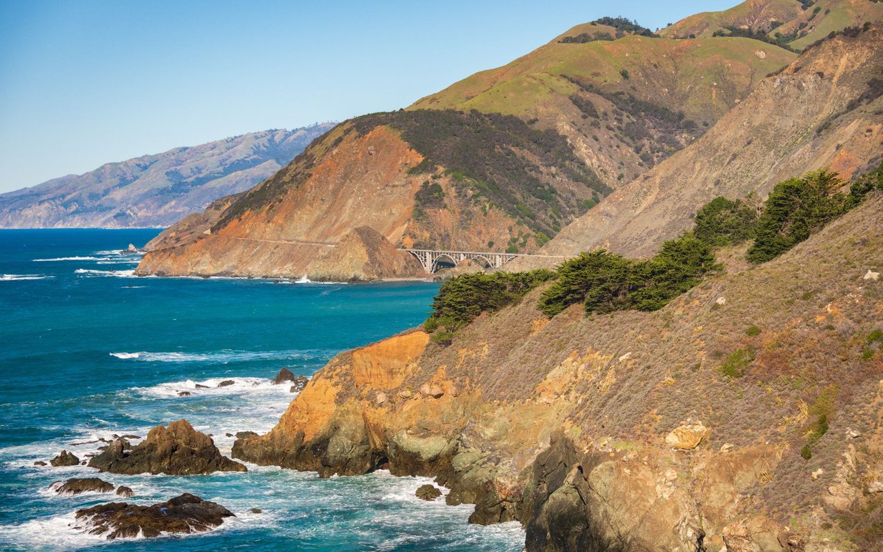
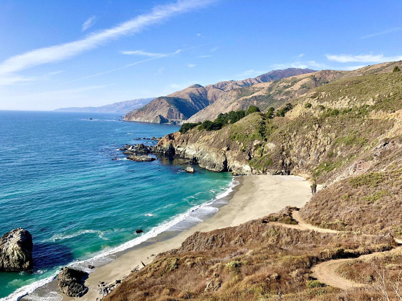
Read together, those three pages explain this winter on the coast. The parks are open. Highway 1 has run end to end since September 14, according to The Mercury News. The trails are a different matter, and their status changes from one trailhead to the next. The canyon climbs to Big Sur's waterfalls are the routes still behind closure signs. The river flats, the redwood boardwalk and the ocean bluffs are the routes you can walk.
The Timber Fire started on August 8 and burned about 517 acres inside Pfeiffer Big Sur State Park, including many of its trails. For two months the park was the response base for CAL FIRE, the U.S. Forest Service and their partner agencies. The softball field served as the incident command post.
When the park reopened on October 16, State Parks reopened the day-use areas, the campground, Buzzards Roost Trail, the River Path, the Nature Trail, the Redwood Grove Boardwalk, the Nature Center, the Campfire Center and Big Sur Lodge. Six trails stayed closed "until further notice":
The agency names the hazards on those routes: unstable trees, falling rocks and debris, damaged trails, erosion, and the potential for debris flows and flash flooding during rainstorms. Anyone entering a closed trail can be cited. The release's photo captions show redwoods burning along the Pfeiffer Falls Trail and Mount Manuel on fire.
Farther south, Limekiln looks much the same. Its October 29 update lists the Limekiln Trail to Pitkins Curve Trail and the ocean-view overlook as open. Hare Creek and Limekiln Falls trails remain closed. At both parks, the waterfall trails are closed and the routes toward open water are not.
KSBW reported this on timing after Pfeiffer's reopening:
"State Parks officials noted that the remaining closed trails could reopen by spring."
Pine Ridge appears on two closure lists: State Parks' list for Pfeiffer and a Forest Service order. Forest Order 05-07-51-26-11 closes the Timber and Plaskett fire areas of the Monterey Ranger District, including the roads and trails named in the order. It took effect September 26, 2026, and runs until January 31, 2027.
The order's trail list covers most of the backcountry routes a Big Sur hiker would know by name. It includes Pine Ridge, Mt. Manuel, the Big Sur Trail, North Coast Ridge, Terrace Creek, Cone Peak, Kirk Creek, Vicente Flat Camp, Cruickshank, Mill Creek, Little Sur and the Carmel River Trail. Owners, lessees and residents of private land inside the closure area can still pass through as far as they need to reach their property, unless the Monterey County Sheriff or the California Office of Emergency Management has put the area under an evacuation order.
With those ridge routes, camps and canyon climbs closed until at least the last day of January, the walking left this winter sits close to Highway 1 and close to sea level.
The fire closures sit on top of a seasonal closure that happens every year. At Andrew Molera, the pedestrian bridge across the Big Sur River on the Creamery Meadow Trail is a seasonal structure. The Department of Fish & Wildlife permits it only from June 15 to October 31. State Parks scheduled this year's removal for Thursday, October 29. Each year the exact date depends on staff availability, river flows and the weather forecast.
Trail Camp, the park's campground, was scheduled to close for the winter beginning November 1. It sits in the Big Sur River's flood zone and closes every winter for public safety and resource protection. State Parks projects it will reopen May 1, 2027.
Molera came through the fire season in better shape than its neighbors. As of September 29, the San Luis Obispo Tribune reported that East Molera Trail was the park's only closed trail and its other nine were open. That count came before the bridge's scheduled removal. Without the footbridge, the Creamery Meadow Trail loses its seasonal river crossing until the permit window opens again on June 15.
Here is the current picture, park by park, based on the most recent State Parks postings:
| Park | Open | Closed |
|---|---|---|
| Pfeiffer Big Sur | Buzzards Roost, River Path, Nature Trail, Redwood Grove Boardwalk, day-use areas, campground, Big Sur Lodge | Pfeiffer Falls, Valley View, Oak Grove, Mt. Manuel, Big Sur River Gorge, Pine Ridge |
| Garrapata | Soberanes Canyon Trail, out and back | Rocky Ridge Trail |
| Limekiln | Limekiln Trail to Pitkins Curve Trail and the ocean-view overlook | Hare Creek, Limekiln Falls |
| Andrew Molera | Park open 8 a.m. to sunset | Creamery Meadow footbridge scheduled for removal October 29; Trail Camp scheduled to close November 1, projected to reopen May 1, 2027 |
Soberanes Canyon is the longest open walk at the north end of the coast. State Parks describes it as an out-and-back hike of 1.25 miles to the back of the canyon. Rocky Ridge Trail is closed for hazardous conditions. Garrapata is open 8 a.m. to sunset.
Limekiln costs $10 per vehicle, and every transaction there is currently cash only. Day use runs 8 a.m. to sunset, and the kiosk is staffed 8 a.m. to 4 p.m. Caltrans is running a geotechnical survey of the Limekiln Bridge that is estimated to wrap up by November 13. Until then, expect noise on weekdays from 8 a.m. to 5 p.m. A weekend visit avoids it.
Pfeiffer Big Sur's open trails are the River Path, the Nature Trail, the Redwood Grove Boardwalk and Buzzards Roost. Park hours are 8 a.m. to sunset.
When guests arrive and the trails they asked about are closed, Point Sur State Historic Park offers a fixed-schedule alternative. Tours of the lighthouse and the naval facility had resumed by late September, according to the San Luis Obispo Tribune. The State Parks tour schedule lists:
Tours are first-come, first-served. They can fill up and may be canceled for weather.
Big Sur Station at 47555 Highway 1 is staffed seven days a week, roughly 9 a.m. to 4 p.m., and has current trail, beach and campground information. Stop there before planning a winter walk to McWay Falls, Partington Cove or Pfeiffer Beach. For road conditions on the drive down, State Parks points visitors to the Caltrans QuickMap.
Until the ranger district's order expires on January 31 and the waterfall trails reopen, Big Sur's open walking runs along the river, the boardwalk and the coastal bluffs.
I grew up on the Peninsula, and I'm happy to talk through Big Sur this winter, from which trailheads are open to the land along Highway 1. Reach out to Alex Brant and let's connect.
Stay up to date on the latest real estate trends.
Homeowners Insurance, Independent Brokers, California FAIR Plan Coverage and What Buyers Need to Know
Monthly Report



Get assistance in determining current property value, crafting a competitive offer, writing and negotiating a contract, and much more. Contact Alex today to discuss all your real estate needs!